The Karanas
The vast grassy plains at the heart of Antonica, divided into North, South, and East Karana.
Overview
Drawn from The Maps of Myrist — zone description.EQ1Primary · official
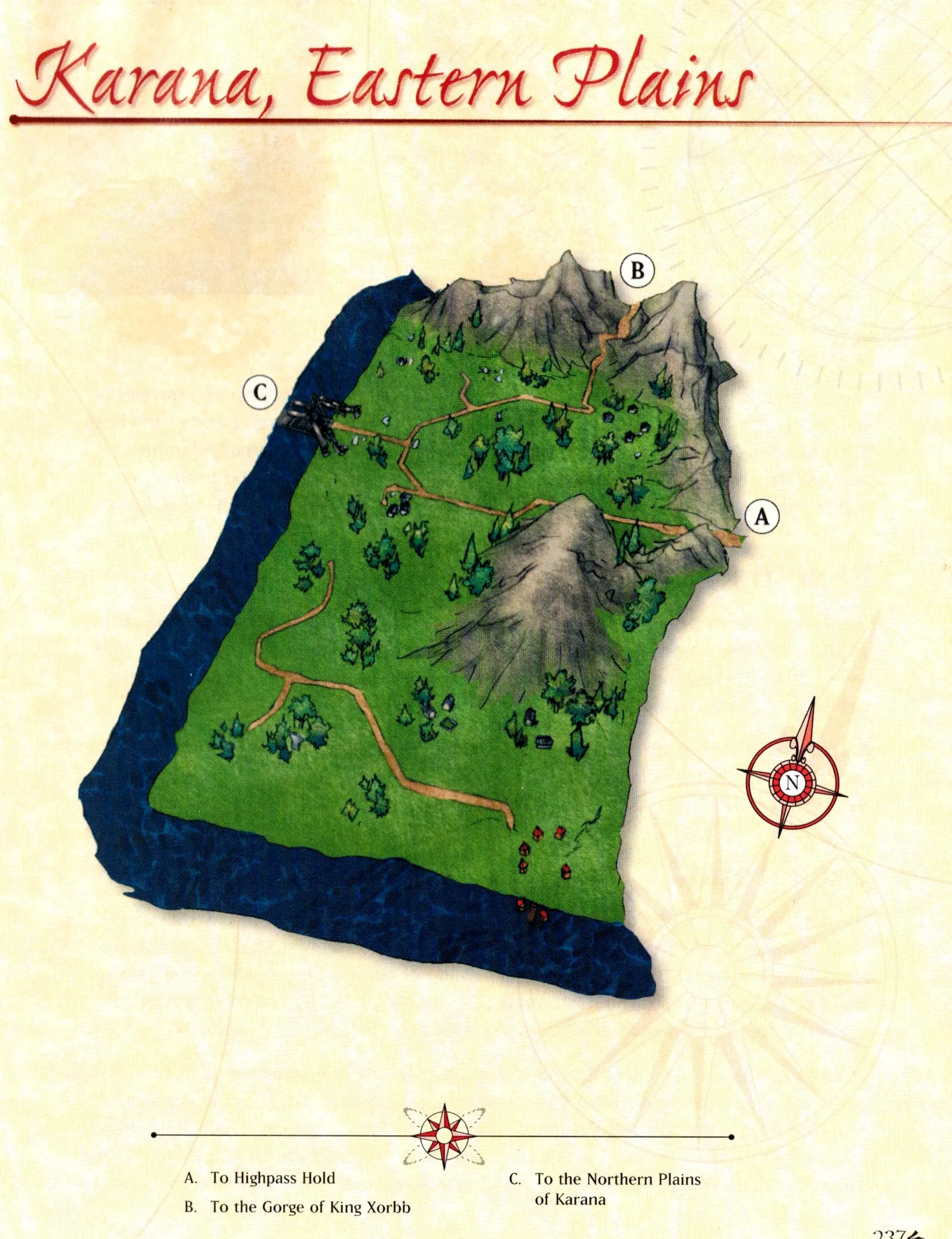
The eastern most section of the plains of Karana is an open land with few rolling hills and the majestic granite peaks of Highpass bordering to the east. This impressive area contains a few outposts, such as the small village of cottages located near the granite peaks to the east. Toward the northern reaches of the plains, east of the small village, the earth rises to form a massive valley that leads to the Gorge of King Xorbb.
To enter the Eastern Plains of Karana, one must cross the enormous wooden bridge that grants passage over the Serpent River, a wide waterway that cuts through the whole of Antonica from north to south. Legends claim that this massive bridge, which connects the Northern and Eastern Plains of Karana, was built by the giants during a great battle. Once the bridge is crossed and the eastern plains entered, one will immediately see a path that leads up to a stone monument, directing adventurers and travelers toward the proper roads for Qeynos and Highpass. Standing watch at this marker are two paladins, Sir Morgan and Squire Wimbly.
Beyond the road, the wide, open expanse of plains and gently rolling hills is filled with an assortment of creatures. Many of the region's native species are extremely ferocious, attacking any who cross their path. A great chasm to the north of the bridge is home to hardy creatures such as the poisonous chasm crawler snakes and the chasm hounds.
Maps
4From the EverQuest Atlas: The Maps of Myrist (SOE, 2002).
Official Lore
3Collected official lore pieces, from in-game and out.
The Maps of Myrist
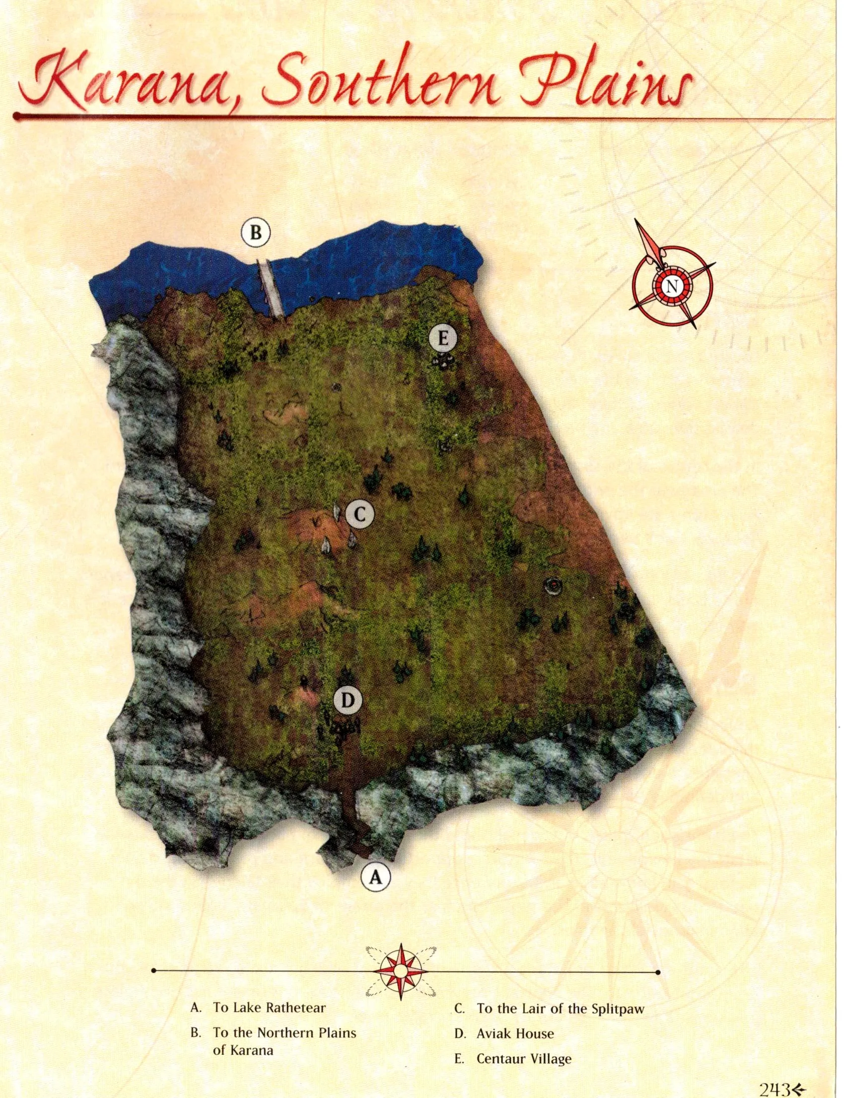
The southern most expanse of the Karana territory is located just north of the Rathe mountain range, beyond Lake Rathetear. In comparison to the rest of the plains near Qeynos, the southern regions are filled with a relative sense of calm. Many natural creatures roam the southern plains, including lions, elephants, and wolves.
Read the full sourceThe Maps of Myrist
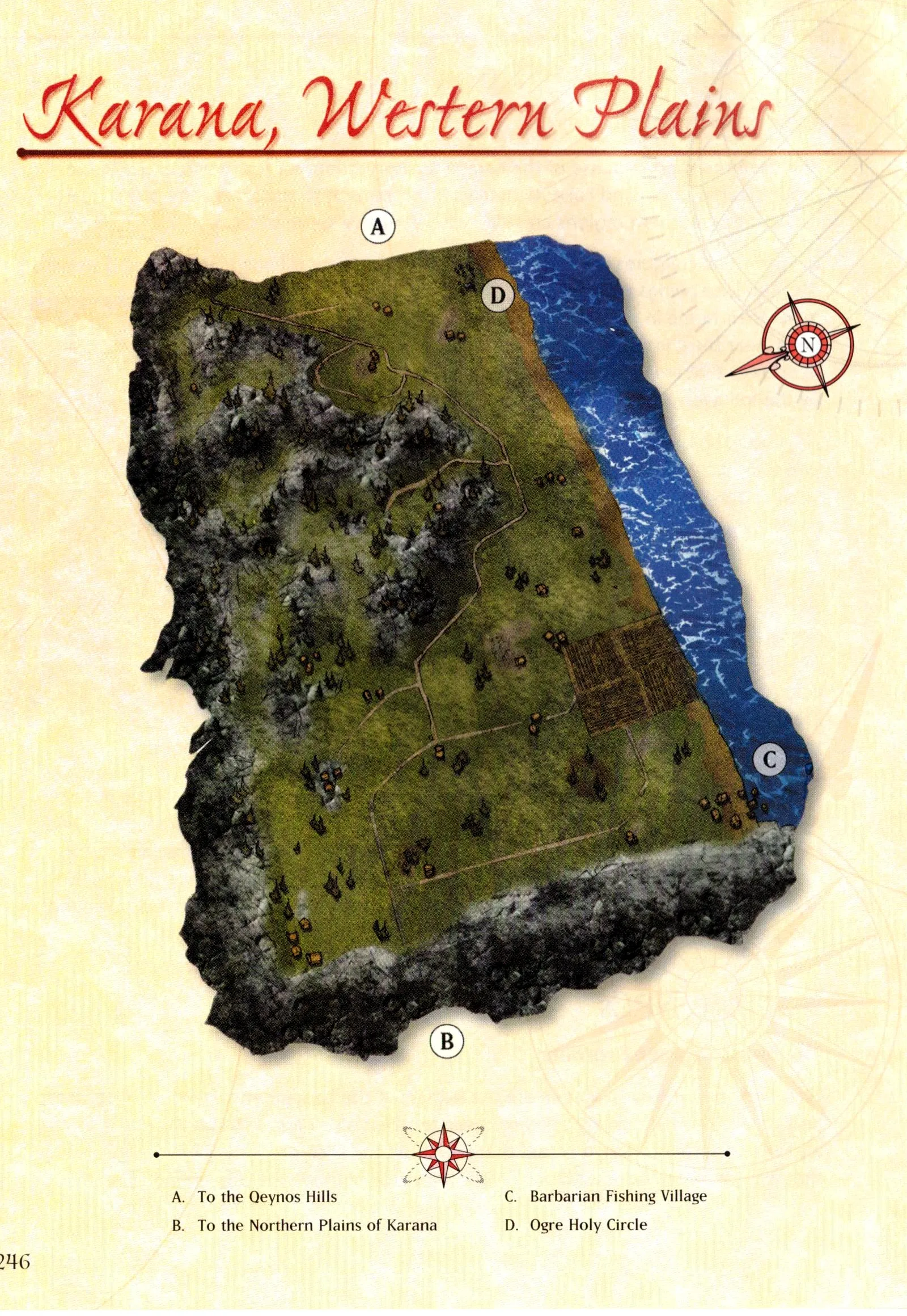
The western region of the Karana plains is the closest to Qeynos, residing just beyond the gently rolling hills outside the city gates.
Read the full sourceThe Maps of Myrist
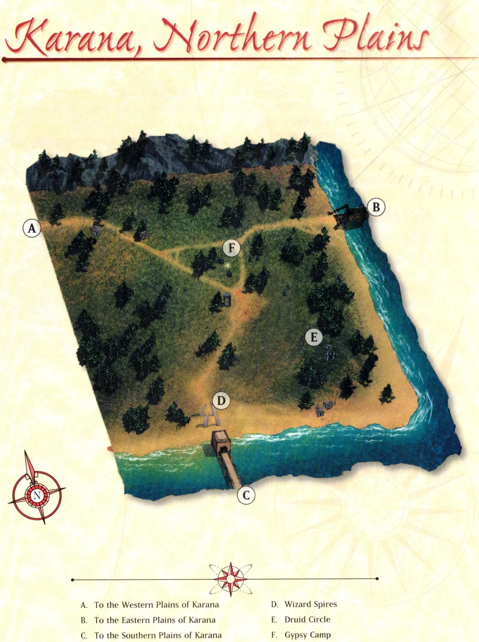
The great Serpent River, which divides the whole of Norrath from north to south, separates the northern plains of Karana from its neighboring southern and eastern regions. Two great bridges offer the only means to pass the river and enter the adjacent plains.
Read the full sourceField notes
Adventuring notes from the atlas — what to watch for and what the zone offers. Flavor, not lore.